We, at DroneTech, are excited to share with you the numerous benefits of using drone surveys for farmland mapping. As agricultural drone technology continues to advance, drone surveys have become an invaluable tool for farmers across the United States.
Drone surveys involve the use of unmanned aerial vehicles (UAVs) equipped with high-resolution cameras to capture detailed images of farmland. These images are then processed to create accurate maps showcasing field boundaries, vegetation, and other essential features.
So, why should you consider integrating drone surveys into your farming practices? The advantages are significant. With drone surveys, you gain valuable insights into crop growth, identify potential issues such as pests or weeds, and evaluate the overall performance of your farm. These insights empower you to make informed decisions about planting, fertilization, and other crucial farming methods.
What sets drone surveys apart from traditional methods is their efficiency and ability to collect large amounts of data. By covering vast areas quickly and at low altitudes, drones provide high-resolution, high-accuracy information that is independent of weather conditions. This not only saves time but also ensures that you have the most up-to-date and reliable data for your farm.
We invite you to explore the world of agricultural drone technology and discover how drone surveys can revolutionize your farm management. In the following sections, we will delve deeper into the various aspects of drone mapping and how it can enhance your farm productivity.
Understanding Drone Mapping and Surveys in Agriculture
Drone mapping is a game-changer in the field of agriculture. By utilizing unmanned aerial vehicles (UAVs) equipped with advanced sensors and cameras, farmers now have access to highly accurate data that was previously unattainable. Drone surveys provide a detailed and comprehensive view of farmland, allowing farmers to make informed decisions about crop management and land optimization.
With drone mapping, farmers can capture high-resolution images of their fields from above. These images are then processed using sophisticated photogrammetry software, resulting in 3D models, orthomosaic maps, and elevation models. These detailed representations provide valuable insights into field boundaries, crop growth, and vegetation analysis. By leveraging drone surveying technology, farmers can monitor crop health, identify potential issues such as pests or weeds, and track growth patterns throughout different seasons.
The Advantages of Drone Mapping in Agriculture
There are several advantages to using drones for mapping and surveys in agriculture. Firstly, drones can fly at low altitudes, capturing images with unparalleled detail and accuracy. This enables farmers to obtain high-resolution data independent of weather conditions. Additionally, drones can cover large areas quickly, allowing for faster and more cost-effective surveys compared to traditional methods like satellite imagery or ground surveys.
Furthermore, drone mapping offers a range of applications in agriculture. Farmers can utilize the data collected to plan irrigation strategies, optimize resource usage, and simulate crop placement. The data also aids in soil analysis, enabling farmers to make informed decisions about fertilization and nutrient management. Drones are even capable of assisting in livestock tracking, ensuring the safety and well-being of animals.
In summary, drone mapping and surveys have revolutionized the agriculture industry. By harnessing the power of UAV technology, farmers can gather precise and valuable data to enhance their decision-making, optimize farm productivity, and ultimately, achieve greater success.
| Advantages of Drone Mapping in Agriculture |
|---|
| Captures high-resolution images of fields |
| Provides 3D models, orthomosaic maps, and elevation models |
| Enables monitoring of crop health and growth patterns |
| Faster and more cost-effective surveys compared to traditional methods |
| Allows for planning irrigation strategies and optimizing resource usage |
| Aids in soil analysis for informed fertilization decisions |
| Assists in livestock tracking for enhanced animal safety |
The Functions and Benefits of Drones in Agriculture
Drones have become essential tools in modern agriculture, offering a range of functions and benefits that significantly improve farming practices. These unmanned aerial vehicles have revolutionized the way farmers collect data, monitor crop health, and make informed decisions for optimal farm management.
Enhanced Mapping and Surveillance
One of the primary functions of drones in agriculture is mapping farmland and monitoring crop growth. With their ability to capture high-resolution images and create detailed maps, drones provide farmers with valuable information about field boundaries, vegetation, and potential issues such as pests or weeds. By regularly surveying their fields, farmers can make better decisions regarding planting, fertilization, and other farming methods.
Precision Farming Practices
Drones enable precision farming practices by facilitating accurate soil and plant analysis. Through advanced sensors and cameras, drones can assess nutrient levels, moisture content, and overall crop health, allowing farmers to make data-driven decisions about fertilization, irrigation, and pest control. Additionally, drones can be used for precise seed planting, ensuring efficient distribution and optimizing crop yield.
Time and Cost Savings
The use of drones in agriculture offers significant time and cost savings for farmers. Compared to traditional methods like satellite imagery or ground surveys, drones can cover large areas quickly and collect vast amounts of data efficiently. This allows farmers to reduce the time spent manually inspecting their fields and make proactive decisions to prevent crop damage or yield loss. Moreover, drones enable targeted spraying of fertilizers or pesticides, reducing waste and minimizing environmental impacts.
Improved Efficiency and Decision-Making
By integrating drones into their farming practices, farmers can improve overall efficiency and decision-making. The real-time data provided by drones helps farmers identify problems early on, such as disease outbreaks or irrigation issues, allowing for swift intervention. With a comprehensive understanding of their crops’ health and growth patterns, farmers can optimize resource allocation, minimize input costs, and maximize productivity.
| Benefits of Drones in Agriculture | Functions of Drones in Agriculture |
|---|---|
| Enhanced mapping and surveillance capabilities | Precision farming practices like soil and plant analysis |
| Time and cost savings | Precise seed planting and targeted spraying |
| Improved efficiency and decision-making |
Innovative Uses of 3D Drone Mapping and Imaging in Modern Agriculture
In modern agriculture, the use of 3D drone mapping and imaging has opened up a world of innovative applications that are revolutionizing the industry. By harnessing the power of drones and advanced mapping technology, farmers can now access valuable data and insights that were previously unavailable. These innovative uses of 3D drone mapping are transforming farming practices and driving increased efficiency, productivity, and sustainability.
One of the key applications of 3D drone mapping in modern agriculture is terrain and soil NDVI mapping. With drones equipped with sensors and cameras, farmers can collect data on salinity, soil type, and health quickly and accurately. This information is essential for research and crop placement planning, enabling farmers to optimize their resource usage and make informed decisions about irrigation and fertilization strategies.
Another innovative use of 3D drone mapping is the generation of prescription maps for fertilizers, herbicides, and pesticides. By analyzing the drone survey data, farmers can create customized maps that optimize the application of these substances, reducing waste and environmental impact. This precision application ensures that crops receive the necessary nutrients and protection, while minimizing the use of chemicals.
| Innovative Uses of 3D Drone Mapping in Agriculture | Benefits |
|---|---|
| Terrain and soil NDVI mapping | – Quick and accurate assessment of salinity, soil type, and health – Aids in research and crop placement planning |
| Prescription maps for fertilizers, herbicides, and pesticides | – Optimizes application – Reduces waste and environmental impact |
| Rapid stockpile volumetric measurements | – Assesses inventory levels quickly and accurately |
Drones are also invaluable for rapid stockpile volumetric measurements. Industries like mining and quarrying benefit greatly from the ability of drones to quickly assess inventory levels and monitor materials. These accurate volumetric measurements facilitate efficient resource management and provide real-time data for decision-making in these industries.
Furthermore, 3D drone mapping and imaging find applications in slope monitoring, urban planning, and site analysis for construction and development projects. The ability to generate detailed elevation models and collect up-to-date data allows for the detection and prevention of landslides, aids in urban planning, and provides valuable insights for complex development projects.
These innovative uses of 3D drone mapping and imaging in modern agriculture demonstrate the transformative potential of drone technology. By providing farmers with highly accurate and detailed data, drones are revolutionizing farming practices, optimizing resource usage, and driving increased efficiency in the industry.
How Drone Surveys Improve Farm Productivity
Drone surveys have become a vital tool in enhancing farm productivity by providing farmers with valuable insights and data-driven decision-making. These surveys offer a range of benefits that contribute to optimizing farming practices and increasing overall efficiency. By harnessing the power of drone technology, farmers can achieve higher crop yields, reduce costs, and minimize the impact of pests and diseases on their fields.
One key advantage of drone surveys is the ability to measure crop distribution through aerial surveying. By obtaining accurate and detailed information about crop growth and health, farmers can analyze the data and make informed decisions for future farming practices. This includes developing optimized strategies for planting and irrigation, which effectively utilize resources and enhance crop placement. Additionally, drone surveys enable precise and efficient seed planting, reducing waste and increasing productivity.
Another significant benefit of drone surveys in farming is the role they play in pest control. Drones equipped with advanced imaging technology can quickly identify and locate pests and diseases in crops, allowing farmers to take timely action before the issues spread. By providing effective and efficient pest control solutions, drone surveys help reduce crop damage and minimize associated costs.
| Benefits of Drone Surveys |
|---|
| Optimized farming strategies |
| Precise and efficient seed planting |
| Early detection of pests and diseases |
| Cost reduction |
| Increased crop yields |
| Enhanced resource utilization |
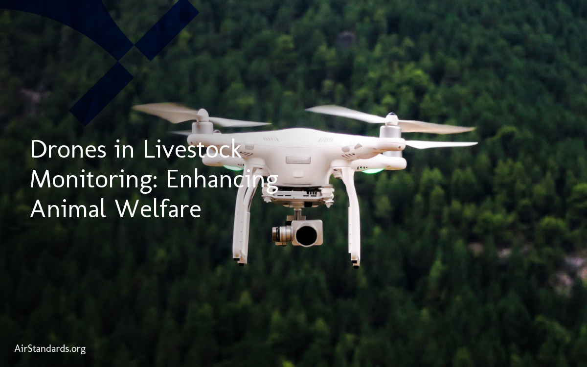
Furthermore, drone surveys enable livestock tracking through heat signature detection. This technology allows farmers to quickly locate and ensure the safety of their livestock, enhancing overall farm management and reducing potential losses. Overall, the use of drone surveys in agriculture saves time, reduces costs, and improves farm productivity by providing farmers with valuable insights and actionable data.
Exploring the Diverse Applications of Drones in Agriculture
When it comes to drone technology in agriculture, the applications are incredibly diverse and ever-expanding. Drones have proven to be versatile tools that revolutionize farming operations, contributing to increased efficiency, sustainability, and overall success in the industry.
In addition to their well-known uses in mapping, planting, and crop spraying, drones have become valuable allies in pest and disease detection. Farmers can now identify and treat issues before they spread, minimizing crop damage and maximizing yields.
Furthermore, drones assist in irrigation system analysis, optimizing water usage and reducing waste. By collecting detailed data, farmers can make informed decisions about when and how much to irrigate, ensuring that their crops receive the right amount of water at the right time.
Drones also play a crucial role in soil analysis, providing farmers with intricate information about nutrient levels and soil health. This empowers farmers to make precise decisions regarding fertilization and nutrient management, leading to more sustainable and environmentally-friendly farming practices.

- SMED Manufacturing: Reduce Changeover Times & Boost Efficiency - January 30, 2026
- Aviation Lifecycle Services: Maximizing Safety, Efficiency, and Compliance Through Digital Strategies - December 1, 2025
- Syringe Pump Automation: Elevating Laboratory Standards - November 3, 2025